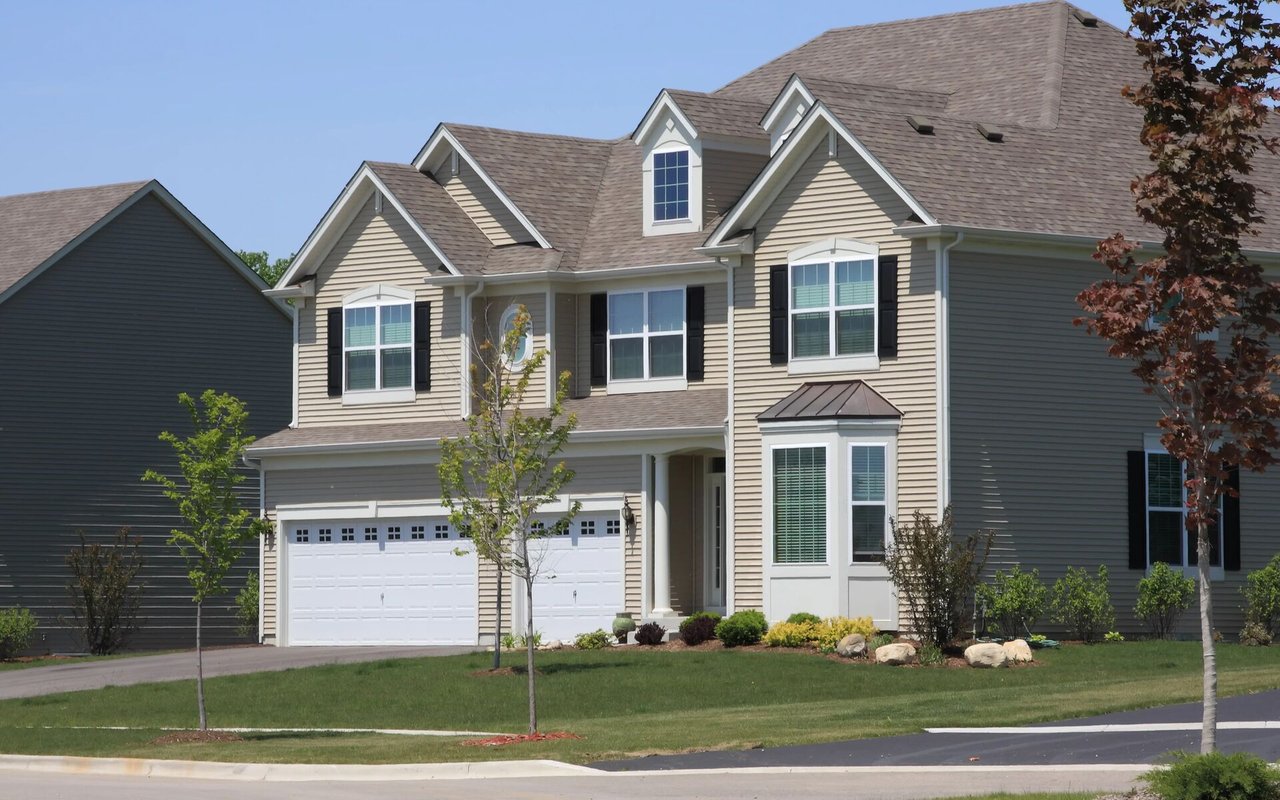
Thinking about buying land or a home with room to grow in Goochland County? Zoning is the quiet rulebook that decides what you can build, where you can place it, and what permits you will need. If you get a handle on the basics early, you avoid costly surprises and keep your plans on track. In this guide, you will learn how Goochland zoning works, what to check before you buy, and the practical steps to confirm your project is feasible. Let’s dive in.
Zoning basics in Goochland
Zoning districts set the baseline rules for each parcel. Districts like agricultural, residential, commercial, and planned development determine permitted uses, density, and minimum lot sizes. Your district decides what you can do by right and what needs a special approval. Always confirm the exact district and whether your parcel carries any added conditions.
Overlays and environmental controls can add extra rules on top of base zoning. Common layers include mapped floodplains, Chesapeake Bay or stream buffers, and historic or steep slope areas. These can limit where structures can go or add stormwater and mitigation requirements. Even if your district allows a use, overlays can change how you build.
Some parcels include proffers or recorded conditions from a past rezoning. Proffers can restrict uses, cap the number or type of structures, or set architectural standards. They are binding and run with the land. Do not rely on the district alone, review the parcel’s zoning case file and recorded documents.
Certain uses or dimensional changes require approvals. A conditional or special use permit, or a variance through the Board of Zoning Appeals, may be needed if your plan does not fit standard rules. Expect an application, fees, and a public process. Ask planning staff about likelihood and timelines before you commit.
Dimensional rules that shape your plans
Setbacks and placement
Setbacks are minimum distances from property lines and roads. They apply to both primary homes and many accessory buildings. Setbacks protect light, air, and access, and they shape your buildable envelope. Measure your concept against the district standards before you design.
Minimum lot size and width
Each district sets minimum acreage and frontage. This matters for large-lot purchases, boundary line adjustments, and subdivisions. Lot width and road frontage standards can limit the number of buildable lots. Check these early if you plan to divide land.
Lot coverage and height
Many districts cap how much of your lot can be covered by impervious surfaces, which include roofs and paved areas. Coverage limits often tighten in sensitive environmental areas. Height limits and structure spacing rules may also apply. Know these limits so you can right-size your plans.
Accessory structures and ADUs
Accessory buildings like sheds, garages, barns, and workshops often follow different rules than main dwellings. Smaller sheds may need minimal permitting, while larger buildings trigger stricter standards. Accessory dwelling units (ADUs) may be allowed as accessory uses or may require a special permit, and they often include owner-occupancy, size, parking, and setback requirements. Confirm how your district defines and regulates each structure type.
Agricultural buildings
Agricultural zones commonly allow farm-related buildings with fewer restrictions. Even so, setbacks, floodplain rules, and building codes still apply. If you plan utilities or habitable space, code and septic standards become a factor. Clarify whether your building is agricultural or residential in purpose.
Septic, wells, and utilities
Adding bedrooms or a second dwelling affects onsite sewage capacity. The Health Department may require perc testing, design updates, or a new permit. Well capacity and water quality also matter for additional units. Build your project around confirmed septic and water feasibility, not assumptions.
How to research a Goochland parcel
Start with the county GIS or parcel viewer to identify the zoning district, parcel size, and overlays like floodplains and stream buffers. Note any references to proffers or past zoning cases. Save the parcel ID and tax map number for later steps. This map is your first snapshot of constraints and opportunities.
Next, pull the zoning ordinance section that applies to your district. Review permitted uses, setbacks, lot size, lot coverage, height, and accessory use definitions. If you are considering an ADU, barn, or workshop, read those sections closely. Cross-check your concept with these standards.
Search the zoning case records for your parcel to find any conditional rezonings or proffers. Obtain and read the documents, not just summaries. Proffers can be more restrictive than the base ordinance. If you see unfamiliar terms, ask planning staff to interpret them in writing.
Request a written zoning verification letter from planning staff. Ask them to confirm the district, permitted uses, any known proffers or conditions, and whether your intended use needs a conditional use permit or variance. Written confirmation reduces risk and helps with lender and insurer questions. Keep the letter with your due diligence file.
Contact the local Health Department about septic and well status. Ask for existing perc test results and permits, or plan for a site evaluation if none exist. For parcels on state roads, check with VDOT on driveway entrance standards and sight distance. Confirm access before you design.
Pre-purchase verification checklist
Use this list before you write an offer with big plans, or during your feasibility period:
Parcel facts
- Identify the parcel address and tax map number.
- View the parcel in the county GIS and note zoning and overlays.
- Pull recorded plats and the deed from land records.
Zoning and conditions
- Read the zoning ordinance district table for uses and dimensional standards.
- Request a written zoning verification letter from planning staff.
- Obtain copies of any proffers, conditional rezonings, and permits on the parcel.
- Ask about any pending rezonings, enforcement, or open cases.
Environmental and utilities
- Confirm floodplain and stream buffer layers, and get a floodplain determination if needed.
- Request septic permits and perc tests, or schedule new testing.
- For larger acreage, consider a soils and topography review to map buildable areas.
Access and easements
- Confirm legal access, driveway permit needs, and sight distance standards.
- Review easements and covenants that could limit building areas.
Permits and timelines
- Ask if your plan needs building permits, a conditional use permit, a variance, site plan review, or subdivision approval.
- Get typical timelines and fees, and ask about pre-application meetings for complex projects.
Common scenarios and what to expect
- Building a large garage or workshop. Often allowed as an accessory structure, but size, setbacks, height, and whether it is habitable will matter. Larger buildings usually require permits and inspections.
- Adding an accessory dwelling unit. Many districts allow ADUs with conditions, while others require a special permit. Expect rules for size, parking, setbacks, and potentially owner occupancy, with septic capacity as a key factor.
- Subdividing acreage. Minimum lot size, frontage, and infrastructure vary by district. Review subdivision rules and ask planning staff for a lot yield estimate and process overview before investing in surveys.
Risks, red flags, and ways to mitigate
Look for deal-breakers before you fall in love with a parcel. A mapped floodplain, stream buffer, or wetlands that cover much of the site can dramatically shrink the buildable area. Limited or unproven septic suitability can stall additions or new dwellings. Multiple easements or strict covenants can constrain driveway placement and building footprints.
Proffers tied to a rezoning can restrict uses or structure types even more than the base district. Pending zoning enforcement can delay permits and add cost. If your plan hinges on a conditional use permit, variance, or rezoning, budget time, fees, and community input. Engage a land-use professional for complex cases.
Mitigation starts with good information. Consider alternative septic systems where suitable soils are limited, and budget accordingly. Adjust building locations to avoid floodplain and buffers where possible, or explore elevation and engineering solutions. If approvals are required, plan for a multi-month process and stakeholder outreach.
Local resources to contact
- Goochland County Planning and Zoning or Community Development for zoning confirmation, interpretations, and application procedures.
- Goochland County GIS or the interactive zoning map for district and overlay layers.
- The Goochland County Zoning Ordinance for district standards and accessory use rules.
- The Goochland County Comprehensive Plan for long-range land use and rezoning context.
- Goochland County Building Inspections for building permit and code information.
- Goochland County Health Department or the Virginia Department of Health for septic and well guidance.
- Virginia Department of Transportation for driveway and road entrance permits on state roads.
- County clerk or land records for recorded plats, easements, covenants, and deeds.
How to get to a confident yes
Start with the GIS viewer, then move quickly to the ordinance and a written zoning verification. Pull the deed, plats, and any zoning case documents so you know exactly what runs with the land. Confirm septic and access early, since both can reshape your plan or your budget. If a special approval is required, map out the timeline so it aligns with your goals.
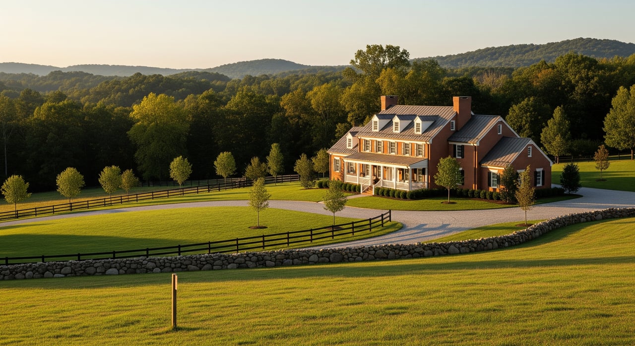
Buying land or a home with acreage in Goochland can be a great move if you plan with the rules in mind. When you know your district, overlays, conditions, and utility limits, you can design a project that fits the parcel and the process. If you want an experienced advocate who is comfortable with surveys, easements, and due diligence, reach out to Brian Walinski to talk through your goals and next steps.
FAQs
What does zoning control for a Goochland parcel?
- Zoning sets permitted uses, minimum lot size and width, setbacks, height, lot coverage, and rules for accessory structures, and it determines what needs permits or special approvals.
How do overlays affect where I can build in Goochland?
- Overlay layers like floodplains and Chesapeake Bay or stream buffers can limit buildable areas or require mitigation, even when base zoning allows a structure.
What are proffers and why do they matter when buying?
- Proffers are recorded conditions from past rezonings that travel with the land and can restrict uses, structure types, and design beyond the base ordinance.
Do I need a permit for an accessory dwelling unit (ADU) in Goochland?
- Many districts allow ADUs with specific conditions, while others may require a special permit, with septic capacity, size, parking, and setbacks as key factors.
Can I subdivide my Goochland acreage into more lots?
- Subdivision potential depends on your district’s minimum lot size, lot width, frontage, and infrastructure standards, so ask planning staff for a lot yield review.
How do I confirm septic and well capacity before adding bedrooms?
- Contact the Health Department for perc tests and existing permits, and plan a site evaluation if records are missing to confirm capacity for additional bedrooms.
What approvals take the longest in Goochland?
- Rezoning, conditional use permits, and variances can take several months with public hearings and plan requirements, so build these timelines into your purchase plan.